
The modern U.S. Navy operates some of the most technologically advanced systems ever created. These include much heralded programs such as the USS Gerald R. Ford aircraft carrier, the F-35C Lightning II fifth-generation multirole combat jet and Virginia-class attack submarines.
Icons of national power and the culmination of decades of innovation, rigorous testing and trials by fire, these and other key U.S. military assets can only function to their full capabilities with the backing of myriad support elements. One of the most important of these is the Naval Meteorology and Oceanography Command, typically referred to as METOC. It is referenced throughout the Navy and the Department of Defense by its umbrella term “Naval Oceanography.”
The command, headquartered at NASA’s John C. Stennis Space Center in Mississippi just inland of the Gulf of Mexico, began humbly as a small navigation implement repository and maintenance facility in Washington D.C. Through the decades, as the U.S. military has expanded its range of capabilities, Naval Oceanography has become the Department of Defense’s premier environmental situational awareness provider.
Optimizing environmental situational awareness
The command produces a wide range of meteorological, oceanographic and navigational products, directly supporting Navy and U.S. military conventional and special operations missions around the world. From a technical military standpoint, the best way to describe METOC’s overarching function is that it optimizes environmental situational awareness in all physical warfighting domains at the tactical, operational and the strategic levels for the U.S. military and its allies.
Optimizing environmental situational awareness means providing the most accurate, timely and relevant information about dynamic physical surroundings of friendly forces to a degree greater than that which any adversary could possibly attain.
Physical warfighting domains are land, sea, air and space. Conceptual warfighting levels range from the tactical (smallest), to the most expansive, the strategic. Tactical engagements and actions can occur in an area as small as a half-acre (or even smaller). Operational represents the aggregate of the tactical and is typically as physically expansive as a few miles to tens of miles. Strategic describes national-level actions and outcomes that typically have historic implications—like a nuclear strike, launched from a U.S. Navy Ohio Class ballistic missile submarine.
METOC plays critical roles throughout this warfighting spectrum on a constant basis, whether at war or not. Its state-of-the-art systems, processes and especially its highly specialized personnel have built this command into what is arguably the world’s most advanced atmospheric and oceanographic systems entity.
National defense not only relies on this level of capability, it demands it.
“Naval Oceanography operates simultaneously at the strategic, operational and tactical levels of warfare in every theater around the globe,” explained Rear Adm. Ron Piret, commander of Naval Oceanography and the Oceanographer and Navigator of the U.S. Navy. “We pride ourselves in our ability to characterize the battle space and then predict changes in the environment over time.”
History supplies countless examples where knowledge of the environment has provided a critical advantage over an enemy—and where oversight of such details has led to disaster. Furthermore, some of Naval Oceanography’s information supports not just the U.S. military, but a tremendous range of vital private and commercial activities throughout the globe, activities that would grind to a halt without METOC’s continuous support.
A sprawling support network
METOC today comprises 14 subordinate commands and employs over 2,600 people, including members of the Navy (many with the official title of aerographer, who collect both meteorological and oceanographic data), full-time government employees and contractors.
They are located throughout the globe and operate and source data from a wide range of systems, including unmanned underwater vehicles, manned surface vessels, aircraft, satellites, and deep space telescopes, engendering their motto “from the bottom of the ocean to the stars.”
The products that Naval Oceanography produces support operations throughout the Department of Defense, both conventional and special operations—and because they are a component of the Navy, they have a special emphasis for operations organic to the service, including anti-submarine warfare, naval special warfare, fleet operations and naval aviation, among others.
The individual components of METOC include the U.S. Naval Observatory (the modern embodiment of METOC’s progenitor, the Naval Depot of Charts and Instruments), the Naval Ice Center, the Joint Typhoon Warning Center, two Fleet Weather Centers, the Naval Oceanographic Office and the Fleet Numerical Meteorology and Oceanography Center.
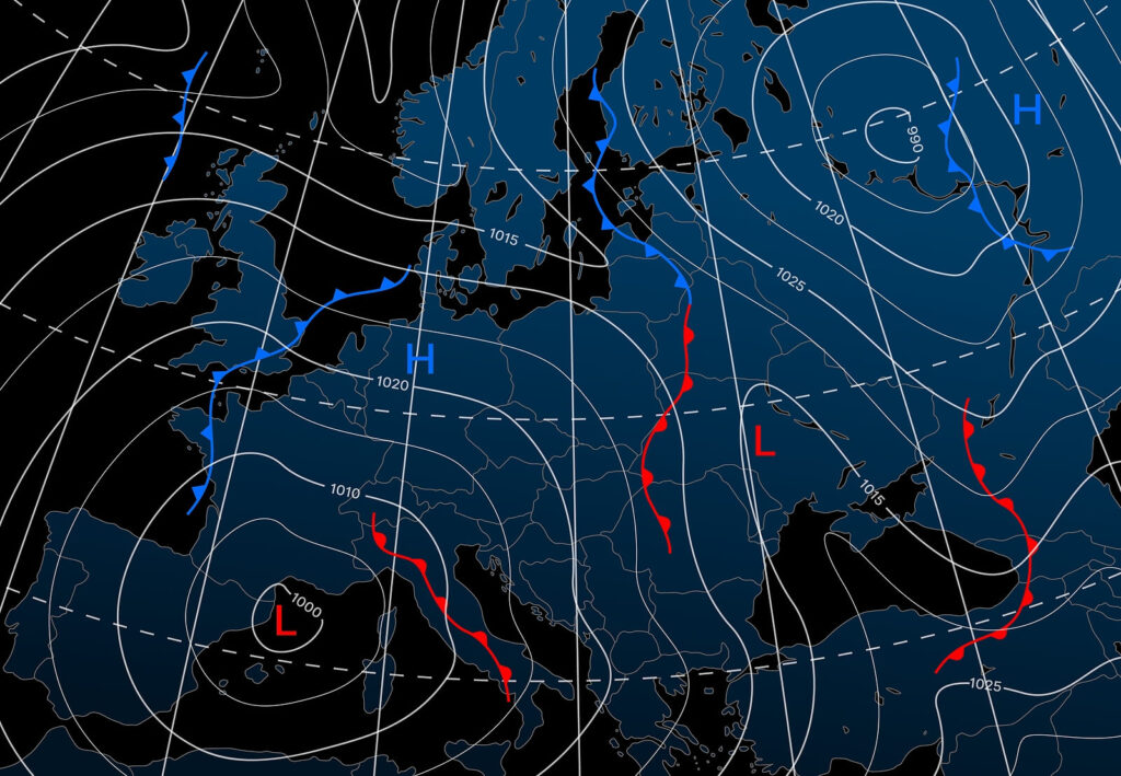
Ranking among the most important of products Naval Oceanography delivers to the Navy and the Department of Defense are myriad environmental forecasts, and notably, weather forecasts.
“Not a ship gets underway and not an aircraft takes off without a forecast from our community,” said Capt. Kate Hermsdorfer, the commanding officer of METOC’s Fleet Weather Center San Diego, which is responsible for providing forecasting for the geographic area stretching from the West Coast of the United States to the Suez Canal. This includes the entire Indo Pacific region. METOC’s Fleet Weather Center in Norfolk, Virginia, is responsible for the Atlantic and the Mediterranean regions.
Hermsdorfer explained that some ships have embedded METOC personnel onboard, and some don’t. Either way, ships receive timely forecasts, custom tailored to their needs. Forecasts include a variety of relevant data, including wind speeds and directions, sea conditions, fronts, and expected precipitation and other conditions. While focused on maritime travel, METOC generates environmental forecasts for military personnel and platforms functioning in all physical warfighting domains: sea, land, air, and even for space-based platforms.
A focus on safety of flight and navigation
The forecasts are focused largely on safety of flight for aircraft and safety of navigation for surface vessels and submarines. To this end, Naval Oceanography personnel generating these products take into consideration a number of factors about the platforms that will be traversing regions for which the forecasts are to be made. These include dimensions of ships, including length, beam and wave size that they can sustain. Even the latest aircraft carrier, the USS Gerald R. Ford, has its limits with respect to wave height.
A poor forecast, or a forecast unheeded, can lead to a ship sinking. An example of this, unrelated to Naval Oceanography, occurred with the commercial cargo vessel SS El Faro, when it sank in 2015 while in the eyewall of Joaquin, a Category 3 hurricane. Waves that battered the vessel were estimated to have been upward of 30 feet.
Routers, who are integral to METOC’s two Fleet Weather Centers in determining specific ship routes, work with individual Navy ships underway to ensure their safe passage based on predicted weather events.
Capt. Hermsdorfer noted that their forecasts, in addition to ensuring safe passage and safe operation of platforms, are developed with operational efficacy in mind.
“We look at operational intent,” she said.
The command then develops forecasts with as great detail as necessary, including recommended routing. These can include tactical situations, in which a certain predicted weather event may provide leverage over a potential adversary, such as fog or high seas.